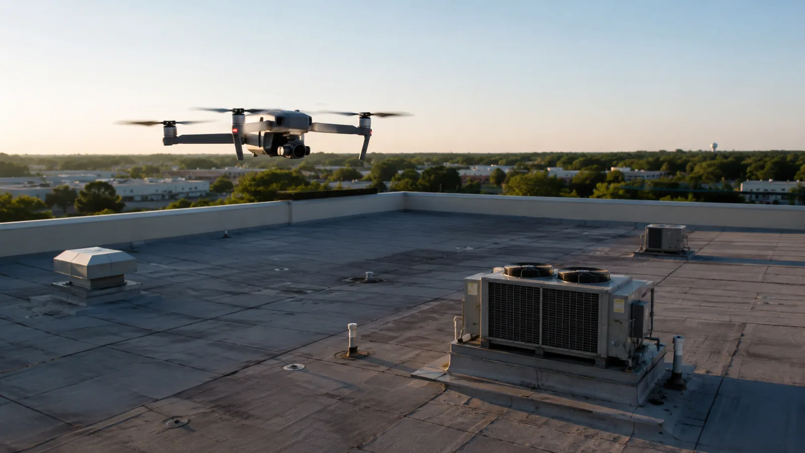
Use drone roof imagery to map visible conditions, plan safe access, and connect North Las Vegas survey findings to a field inspection.
A drone survey can show broad roof conditions without putting a person at every edge or difficult-to-reach area. Its value depends on the question, flight conditions, and what the imagery can resolve. We plan the capture around roof zones, obstructions, access rules, and the records the owner needs. Images can help locate visible damage, drainage patterns, equipment changes, and areas for a closer look; they do not identify every concealed layer or confirm moisture beneath a membrane.
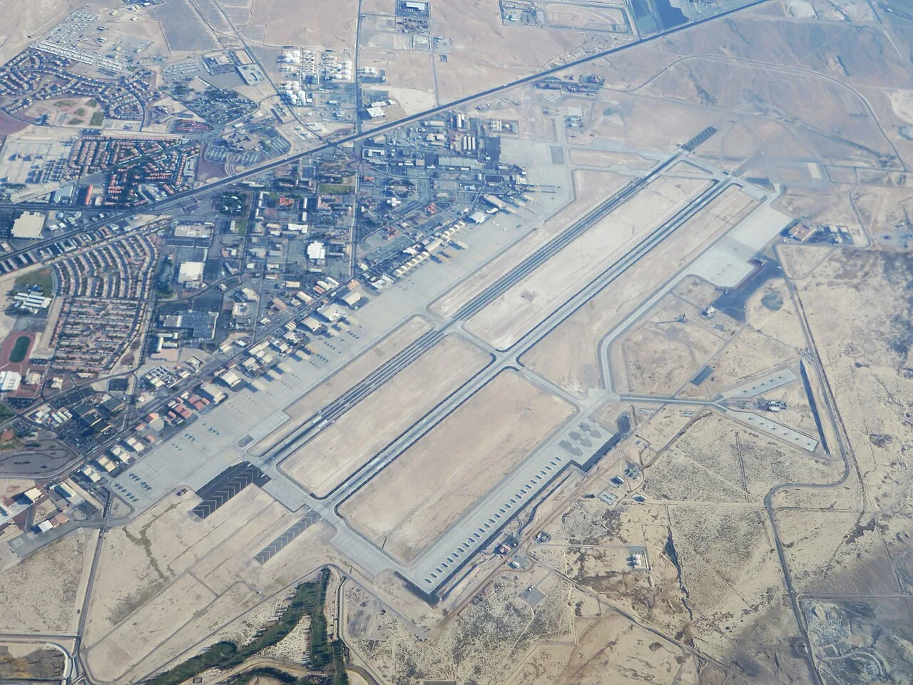
North Las Vegas lies in the broader Las Vegas Valley, where the National Weather Service describes summer monsoon periods with gusty wind and short-duration heavy rain. That context can guide scheduling, but a flight still follows current weather and site conditions. For a building in Downtown North Las Vegas, the city's 2006 planning map provides only historic area context, not current parcel zoning. The drone record should point to a roof zone and a next inspection step, such as a hands-on roof inspection.
Set the survey objective
Tell us what needs to be seen: perimeter metal, a hard-to-access roof level, a drain layout, rooftop equipment clearances, storm-related surface change, or a visual baseline before repair. Provide current roof plans if available and identify the roof zones, units, and tenant spaces that must be matched to each image. If the project involves a reported leak, include the interior location and date so imagery can be compared with the likely water path instead of treated as a general roof picture.
A drone is useful for context and coverage, not every close-up. Small seam openings, flashing adhesion, fastener condition, and hidden moisture may require a person on the roof or a different test. Agree on which questions the flight can answer and where it must hand off to field access. That keeps an aerial image from being mistaken for a complete condition report or a repair authorization.
COMMERCIAL ROOFING IN NORTH LAS VEGAS, NEVADA
Plan safe capture and access
Before launch, coordinate property permission, airspace requirements, site boundaries, roof access, nearby activity, and weather. Identify overhead wires, cranes, exhaust discharge, moving equipment, reflective surfaces, and areas where a flight should not pass. A site contact should explain operating hours, security procedures, and whether staff or tenants need notice. If conditions make stable capture or safe operation doubtful, reschedule rather than force a low-quality record.
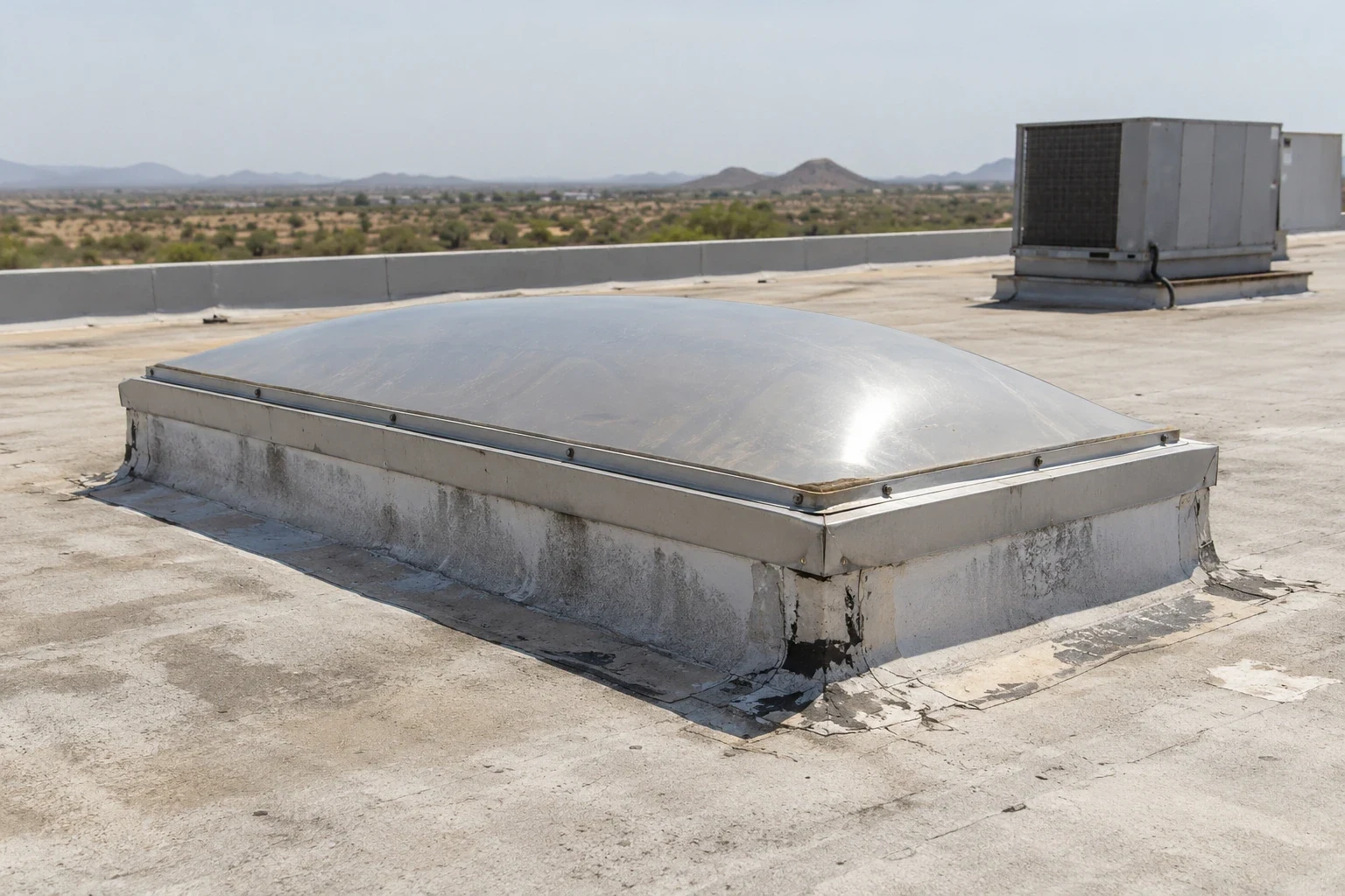
Capture enough overlap and location context to connect each image to a roof zone. Include a consistent direction or landmark when comparing sides of a building, and preserve original files with date and flight notes. A single close crop may reveal a surface detail but lose its location. A wider image helps the reviewer understand whether the condition sits at an edge, seam intersection, curb, drain, or transition.
Read what imagery can show
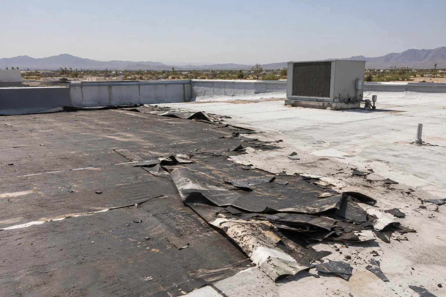
Review surface changes, displaced or missing metal, open-looking laps, ponding patterns, debris, damaged coating, rooftop-unit changes, and visible flashing transitions. Mark each observation on the roof plan or a photo map and state whether it needs hands-on confirmation. Shadows and reflected light can resemble openings or standing water. A thermal or color difference in an image is not a moisture finding unless a suitable method confirms it under the assembly and conditions present.
For a suspected leak, compare the roof location with interior reports and drainage direction. Water can travel beneath a surface before reaching a ceiling. If imagery points toward a curb or membrane seam, arrange a field check of attachment, flashing, substrate, and nearby prior repairs. The leak investigation should record what the flight suggested and what the roofer confirmed, keeping inference separate from observed defect.
Schedule for heat and wind
Heat exposure and gusts affect flight timing, battery performance, surface glare, and the safety of any follow-up roof visit. In the Las Vegas Valley, summer storm timing may shift quickly; monitor current conditions and protect equipment during capture. The regional climate description explains why a survey may be scheduled around wind or rain, but it cannot establish a defect on a North Las Vegas building.
Broad service areas such as the Industrial Lands and Cheyenne Technology Corridor include varied sites and access rules. They help describe our coverage, not a single property or flight permission. The owner or site contact must confirm where the aircraft may operate, what roof sections are restricted, and whether adjacent operations create an exclusion area.
Make the image set reviewable
Deliver organized images with capture date, building and roof-zone labels, view direction, and a plan or map reference. Separate observations from interpretations and flag areas obscured by equipment, parapets, glare, or vegetation. Include the original files when requested so the facilities team can revisit details without relying on a compressed screenshot. If a condition may affect an active leak or safety, contact the site lead promptly rather than leaving the observation buried in a later packet.
For a multi-building campus or portfolio, use the owner's building IDs and keep imagery in separate folders. Do not infer that two similar roofs share the same assembly. A drone can help compare broad surface patterns between buildings, but attachment, deck, and membrane history may differ. Use each set to route follow-up work, then add a written condition record after field findings are confirmed.
Connect survey findings to roof work
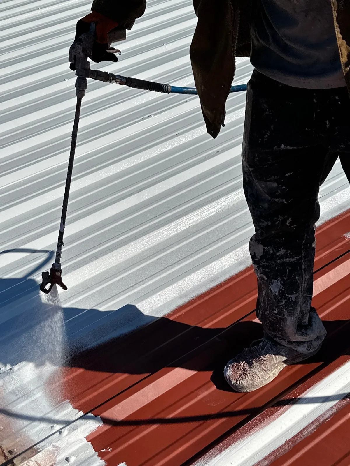
When imagery identifies a visible change, mark the area and assign a field question: Is the edge secure? Does the seam open? Is water standing because of slope or outlet restriction? Has a curb transition changed after equipment work? The crew can then select safe roof access and the right tools. If a patch is justified, record its boundary against a measurable feature. If several roof zones show change, compare test results before treating them as one condition.
Do not choose a coating, membrane patch, or replacement scope from a photo alone. Confirm the assembly, substrate, moisture, and tie-in requirements first. For a known TPO roof or standing-seam metal system, the appropriate repair detail still depends on the actual material and condition found. A drone image helps put the crew in the right place; a documented field inspection sets the repair boundary.
Prepare for a drone survey
Send available roof plans, building identifiers, access requirements, flight restrictions, reported leak locations, and the purpose of the survey. Name a contact who can coordinate site permission and identify restricted operations. Share whether you need a general visual baseline, a storm comparison, or a location map for hands-on testing. If water is entering now, call for emergency roof response rather than waiting for a scheduled aerial survey.
We provide drone capture as part of a practical roof assessment, paired with hands-on inspection when the question requires it. Our response is available around the clock, every day including holidays, for urgent roofing needs. The final record should help the owner understand what was visible, what remains concealed, and which field step will answer the next question. That is how imagery supports a repair decision without standing in for the roof itself.
Commercial Roofing Questions
What roof conditions can a drone photograph?
A flight can document broad surface patterns, visible openings, debris, equipment locations, edge conditions, and areas that are difficult to reach. Image resolution, obstructions, shadows, and flight conditions limit what can be confirmed.
Can aerial images confirm a roof leak?
They can help locate a visible condition and compare it with a reported roof zone, but they do not prove that water entered there. A field inspection may need to examine seams, flashing, drainage, insulation, or the deck.
Does drone imagery replace a hands-on inspection?
No. Imagery helps with coverage and routing, while hands-on access is needed for many details, material checks, and repair boundaries. The inspection plan should match the owner’s question and site safety requirements.
What should we provide before a roof survey?
Send roof plans, building IDs, flight or site restrictions, access contacts, reported leak dates, and any storm or repair comparison you need. Identify locations that cannot be captured because of operations or privacy rules.
Can infrared imagery show wet insulation from a drone?
A thermal pattern is not a moisture diagnosis by itself. Surface temperature, stored heat, shade, and roof construction can change the image. Any suspect area needs a method suited to the assembly and confirmation before it sets a removal boundary.
More Roofing Detail
Plan a roof survey around a defined question
Share roof plans, building identifiers, access rules, and the condition you need documented. We will confirm whether drone imagery, a hands-on inspection, or both can answer it.